 vesseltracker.com
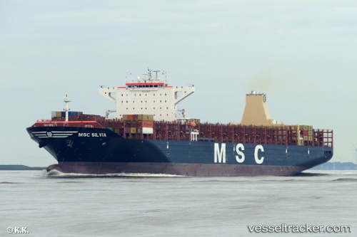
Vessel '255806506' IMO: 9720457, MMSI: 255806506
UTC, 53.16813, -143.16284, course: 263, speed: 16.1
UTC, 53.11517, -144.15585, course: 263, speed: 15.6
2026-02-05 23:32:12 UTC, 53.06963, -144.82495, course: 262, speed: 16
Live AIS position:
UTC. 153 nm E of Kings Bromley),
updated 2026-02-05 23:32:12 UTC.
Find the position of the vessel '255806506' on the map. The latter are known coordinates and path.
marine traffic ship tracker show on live map
The current position of vessel '255806506' is 53.06963 lat / -144.82495 lng. Updated: 2026-02-05 23:32:12 UTCDetails:
Last coordinates of the vessel:
UTC, 53.20309, -142.55763, course: 261, speed: 16.1UTC, 53.16813, -143.16284, course: 263, speed: 16.1
UTC, 53.11517, -144.15585, course: 263, speed: 15.6
2026-02-05 23:32:12 UTC, 53.06963, -144.82495, course: 262, speed: 16